INFOS & SERVICE
Unsere anderen Webseiten

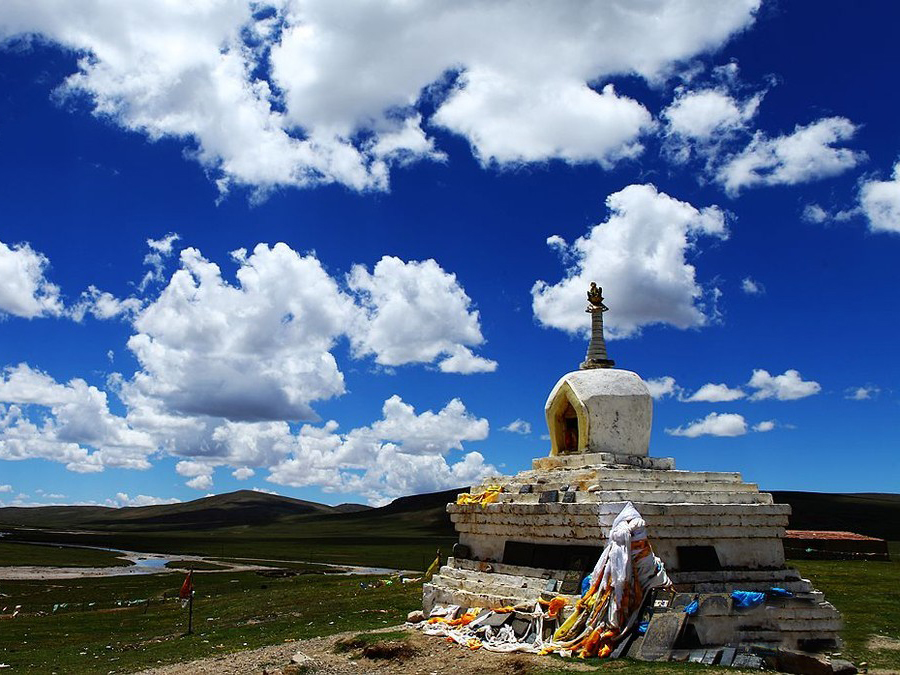
Amnyemaqen
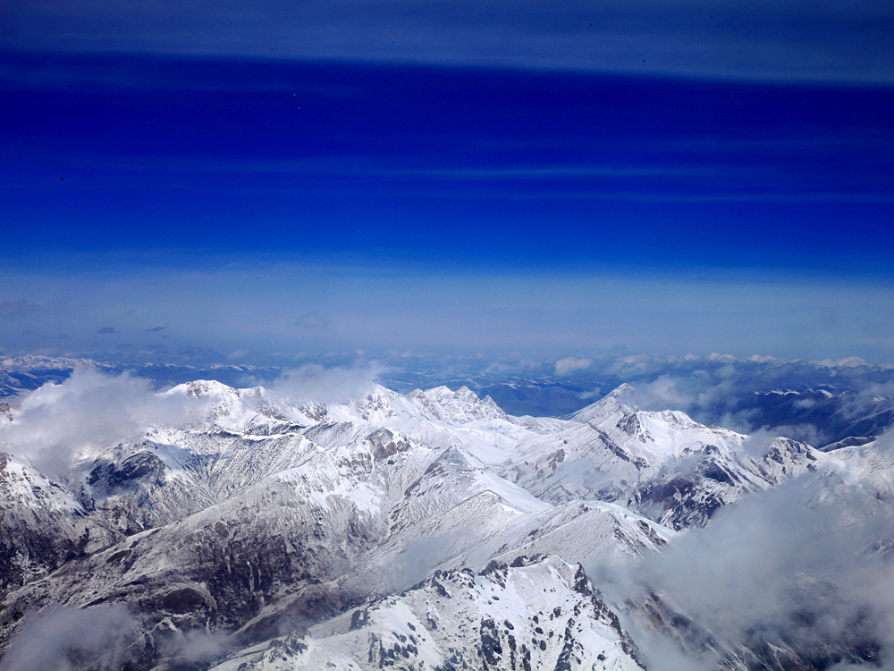
With another name "Jisi Shan", Amnyemaqen Shan is sometimes called Majixueshan. What makes it grotesque is that not only is it esteemed by the Tibetan people as a divine mountain and named "King of Mountains" but remained to be "a bland in geography unexplored by man" even in modern times. In the 1820's many geographers reached a conclusion that Amnyemaqen Shan is the highest peak in the world, but their opinions varied as to what was its precise height. Some of them decided it was 9300 meters above sea level, and some 8300 meters…… What makes it more puzzling is that in the year of 1944, as an aeroplane was passing the area neighboring Amnyemaqen Shan on the Chongqing - Burma route, the pilot reported to the airfield, "I am flying at an altitude of 9000 meters but a high peak is several hundred meters high above my plane." Thereafter, the "mysterious fog" here appeared even more intriguing to unveil. Five years later, an American investigation group of 70 persons went there but returned without achieving any result. It was not until June, 1960 that a mountaineering team of 11 persons from Beijing Geological Institute succeeded for the first time in human history in the ascent of Amnyemaqen Feng on the southeast slope. More than 20 years later, in May, 1981, the Nigata Vekoshi Mountaineering Team of 8 persons from Japan took the lead in reaching Maqen Gangri Feng, the main peak along the southeast ridge and at long last unveiled the mystery of the "King of Mountains".
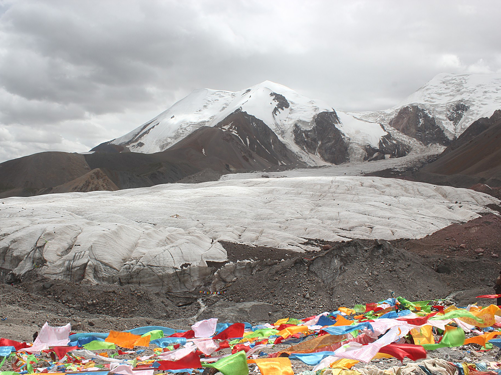
Running from northwest to southeast in southeast Qinghai Province, Amnyemaqen Shan extends to the south border between Qinghai and Gansu Province and proves to be the eastmost of the middle section of East Kunlun Shan Range. Being about 28 kilometers long and some 10 kilometers wide, Amnyemaqen Shan area, covering a circumference of 280 square kilometers, has 18 snowy peaks of over 5000 meters above sea level on it. As it is covered by persistant snow all the year round, four glaciers of 3-7 kilometers in length have been formed, looking so long and winding that they appear to be four silky dragons, Moreover, the have produced 5 riverlets - Xike Qu, Dongde Qu, Qem Qu, Qu'ngoin He and Ge Qu, thus manifesting themselves as the important water resources of the Yellow River (Huanghe).
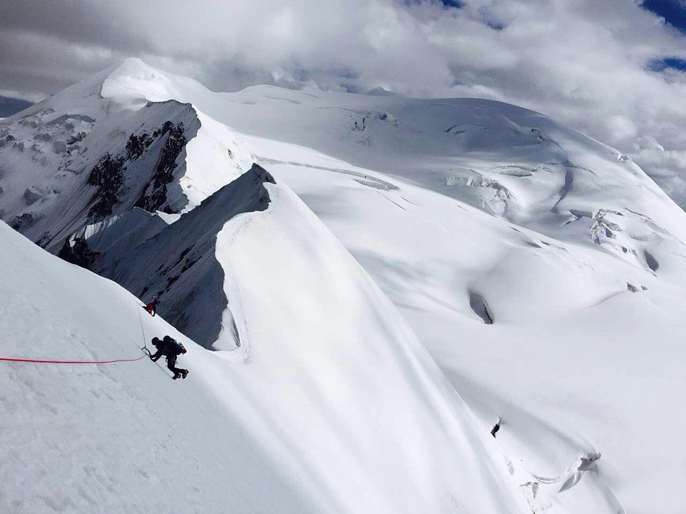
Made up of three peak tongues respectively at 6282, 6254 and 6127 meters above sea level, the main peak of Maqen Gangri, stands at 99.4°E and 34.8°N in the Golog Tibetan Autonomous Prefecture of Qinghai Province and is therefore the heart of Amnyemaqen Shan. Among the three peaks, the main peak remains to be the highest while lower as the III peak is, it covers a larger area than the main peak, looking just like an eagle's beak and piercing into the sky.
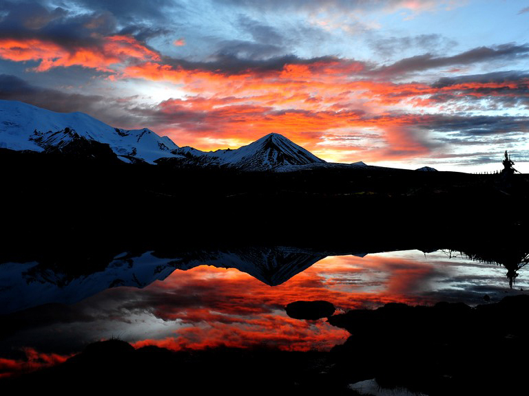
With the continental climate, the weather is so capricious and changeable that even in a single day, it undergoes great changes, and wind, snow and hailstones may attack Amnyemaqen Shan in turn. As has been reported through live survey, fierce wind and heavy snows dominate before the end of April every year. From early June to the end of August, it remains cloudy and dizzy for days on end, with frequent snow and hailstone of various kinds, which are occasionally mixed with tornados. During this time, there are often 20 rainy days on end with the daily precipitation of around 10mm. In January, the coldest month of a year, the temperature on the peak top may recede to less than 50°C, while in the months from the end of April to early June or September-October, the main peak has the lowest of - 30°C. With the most rampant northwesterly wind and northeasterly wind in a year, westerly wind is frequent, too. Wind blows most violently in the months of February, March and April, especially in March, when strong wind of a velocity of 17 meters per second may go on blowing for 15 days continuously. At an altitude of 4700 meters above sea level, in particular, the greatest velocity may reach 40 meters per second. Consequently, the months from the end of April to early June or those of September and October prove to be the most agreeable seasons for mountaineering activities.
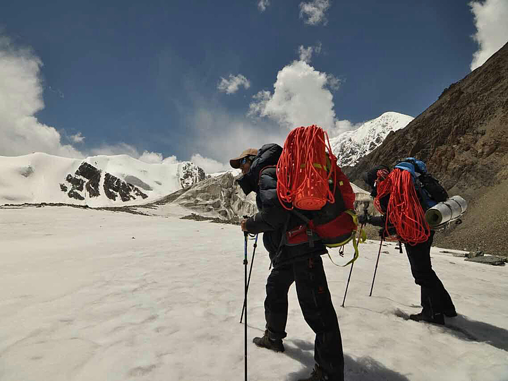
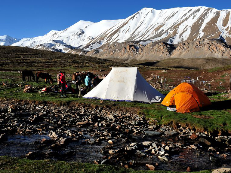
The route line to the mountain. First, a 638-kilometer-drive of 2 days will bring you from Xining, the capital of Qinghai Province, to Maqen of Golog Prefecture. But cautions should be taken against torrents of water in the rainy season which rush down the mountain and stand in you way. Then, ride on horse or yak backs from Pengshan and travel for over 30 kilometers westward along the Qem Qu River, and you will arrive at the mountaineering base camp site at the end of the Qu Harxiaoma Glacier.