INFOS & SERVICE
Unsere anderen Webseiten

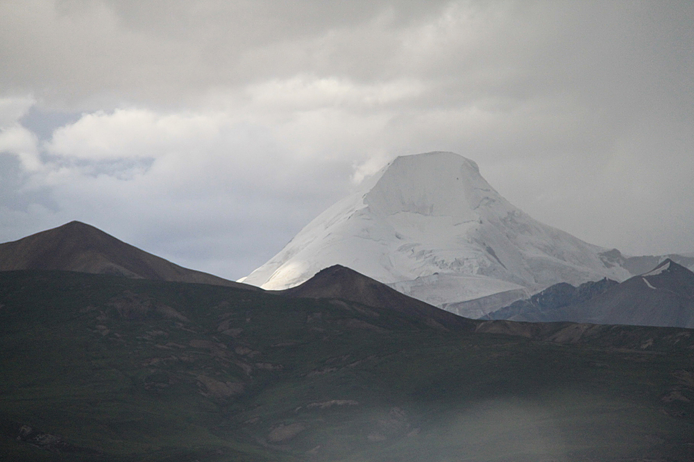
Geladandong Berg
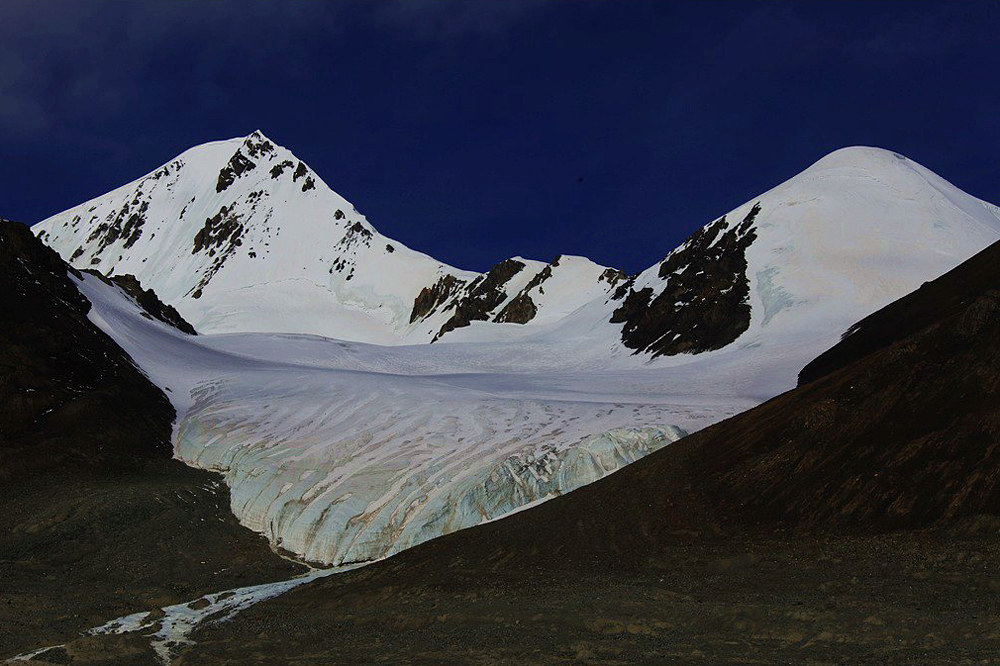
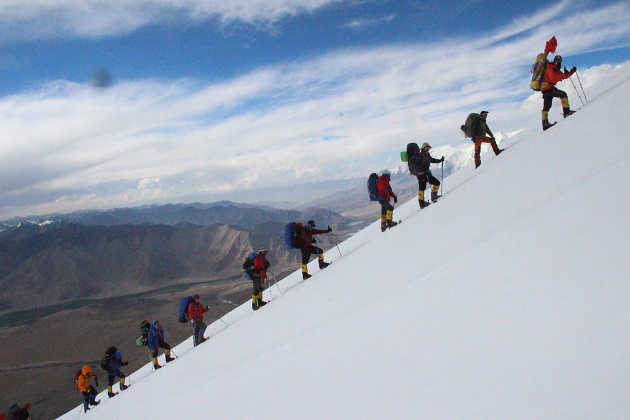
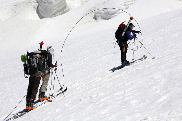
Rising 5400 meters above sea level, Tanggula Shan Extends 600 meters from west to east in the middle of the Tibetan Plateau and owes as may as over 40 peaks exceeding 6000 meters in height. The snowy massif of Geladandong, the main peak, is 50 kilometers long from north to south and 20 kilometers wide from west to east, covering a circumference of 670 square kilometers with ice and snow engulfed by over 40 modern glaciers. It is only around Garkyagdengang Feng on the west side of the peak group that at least 19 glaciers are developed, totaling an area of than 150 square kilometers. A multitude of thawing glaciers combine to form lots of rivulets which converge into large expanse of swamps in the form of lakes spreading all over the region. It is right from the lakes and swamps that the Yangtze River (Changjiang), the third longest river in the world, originates.
Lying in the southwest of Yushu Prefecture in Qinghai Province which is in the middle section of Tanggula Shan, the 6621-meter Geladandong is located at 91°E and 33.5°N and circled by over 20 high peaks exceeding 6000 meters in height. Being the fringe of the ancient Mediterrangean (Sea) in the Tertia Period, it began to rise sharply later on and was not shaped as what it looks now until the end of the Quaternary Period (some 15000 years ago). With the extremely complicated geological structure in the peak region, the consequently frequent movement of the deep-cut glaciers results in the tattered mountain sides and line and harsh topographical conditions.
Due to the arid climate in the Geladandong area, its annual precipitation is only 200 mm. In the high-altitude area of over 5000 meters, however, there exists violent local air circulation and its yearly precipitation remains to be several hundred mm more than that in the piedmont area. Thus, frequent snow, hailstones bolt out the sky and cover up the earth, presenting good conditions for the development of glaciers. The yearly temperature being at -5°C, the hottest months are from June to August with a temperature of over 20°C while the coldest in January with a temperature of -18°C. In the high-altitude area of over 5000 m, it remains cold all the year round, the lowest temperature being less than -30°C.
Not only rich in water resources, but Geladandong Feng hold plenty of precious minerals in store, such as brass, pyrite, rock crystal and so on. Severely cold as the climate conditions are, the high mountains and prairies are not only overgrown with fodder grass but serving as the natural shelter for more than 20 kinds of wild animals, such as white-lipped deer, wild asses, snow leopard and alpine snow cocks.
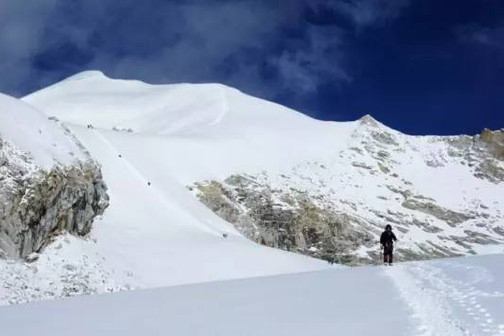
The way to the mountain starts from Xining. After arriving at the City of Golmud, go southward for 1400 kilometers along the Qinghai - Tibet Highway to Yanshiping. Then, ride westwark on horse back from Yanshiping along the river bank and trek a long way for about 90 kilometers, and you are here at the peak foot.