INFOS & SERVICE
Unsere anderen Webseiten

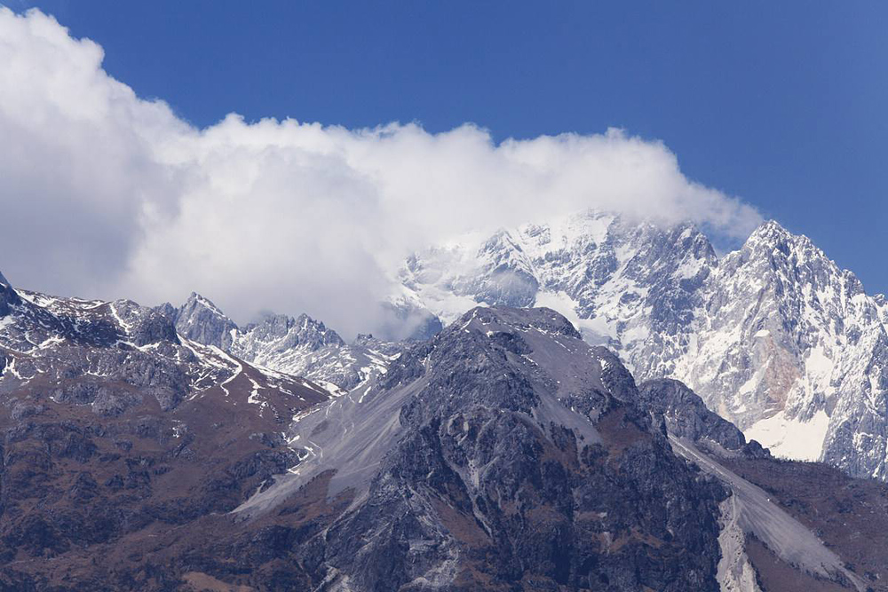
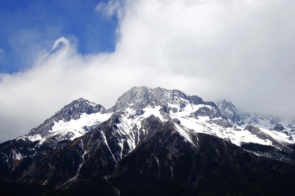
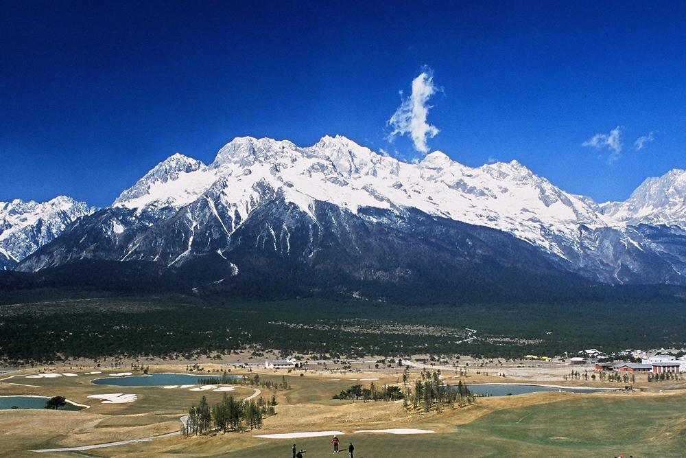
Yulong Xueshan Berg
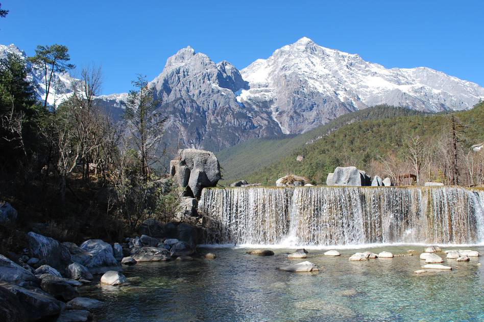
Lying in the southeast of the Hengduan Shan Range in the area of longitu-dinal valley of west Yunan, Yulong Xuweshan is at the south end of Yunling Shan Range in the Lijiang Naxi Autonomous County of Yunnan Province. Run-ning from the north to the south, it is some 34 kilometers long and about 13 kolometers wide. Eighteen peaks of over 5000 meters above sea level tower side by side in the area of more than 440 square kilometers on the east bank of the Jinshajiang River and, therefore, is reputed in the common saying as “ the 18 peaks of jade-dragons”. This refers to the peaks which are covered by white snow and wrapped in the clouds winding around their waist, looking as if there were 18 pieces of jade. At the mountain foot, the Jinshajiang River surges for-ward and roars on with thunder. For this season, the Yulong Xueshan and the Jinshajiang River are simutaneously honored as a “jade wall and golden river”.
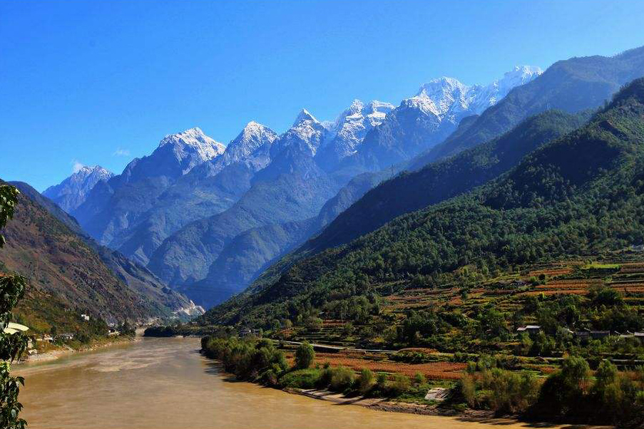
As the Jinshajiang River roars westward to Shigu on the west side of Yu-long Xueshan in Yunnan Province, Hailuo Shan suddenly stands in its way and force the turbulant water to turn abruptly 100 degrees northeastward and thus gives birth to the “First Bend of the Changjiang River”. Here, the river, with its imposing momentum, gallopes between Yulong Xueshan and Haba Xueshan of 5396 meters above sea level as if nothing can stop it, breaking its way into a narrow passage of only 30-60 meters wide and rushing eastward. The precipices on both banks of the river tower against the sky and present a height difference of 4000 meters from the surface of the river while a giant rock, Hutiaoshi of 300 cubic meters or so is entrenched in the middle of the river. This is the world-famous Hutiao Xia, which sees the churn of the turbulent swashing against it and the breakers sending waves up to the sky.
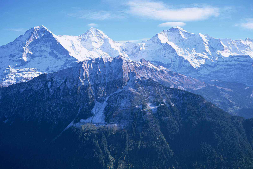
Rising 5596 meters above sea level, Shanyidou, the main peak of Yulong Xue Feng lies at 100.1 0E and 27.0 0N. Being high and steep, the snowy peak reaches the sky while the snowlines range from 4400 to 4500 meters. With an average slope of over 400, the bedrocks are uncovered above the neve basin of the east mountain ridge. The north mountain ridge meets a peak of 5391 meters with its sadde at 5000 meters. Viewed form afar along the ridge line, the knife ridge looks lofty and steep. At the lower reaches of the south mountain ridge are crags and break walls.
Scanty as the valleys of the Yulong Xueshan are, a multitude of Cirque and hanging glaciers scatter far and wide. Under the neve snowline is luxiant vegetation, affording an attractive view of the vegatation of alpine frigid zone with rare birds and animals moveing and flying about in it. Therfore, Yulong Xueshan is admired as “ a kingdom of forests” or “ a treasure house of vegetation”, which belongs to one of the natural preservation centers in Yunnan Province.
In the history of geological development, Yulong Xueshan was part of the West Dian Big Trough, the stratum of which consists mainly of the limestones in the Devonian Period and the Carboniferous Period (Strata) with a thickness of about 3000 meters. In the Palaeozoi Era, the Yulong Xueshan area was a vast expanse of sea; in the Mesozoic Era, inland lakes were formed. But it was not until the movement of the Yanshan Mountain and the Himalayas that it be-gan to tise up, and the rising movement is still going on. Under the glacial ac-tion in the Quaternary Period, a multitude of ancient glaciers, ice moraine ridges and ice-soured Lakes remain here. The Lijiang Ba (Dike) on the east side of the piedmont, for example, is a fault basin shaped in the Pliocene Epoch Pe-riod, the depression of which had once some lakes for accumulated water. Af-terwards, the Yanggong He Piver ran through the lake basins and resulted in the dry-up of the lakes, which are called Haizi (the son of sea) and consequently produced an expanse of green and a natural pastureland as they are today.
With the sub-tropical-tropical alpine humid climate, it is dry in winter and rainy in summer. As the precipitation is concentrated in summer, the rainy season generally from the end of May and lasts to the end of Sepember. The annual precipitation is 5000 mm or so while the months of June and August see the heaviest rainfull. The windy season is mainly in the months of February and March. As a result, the most agreeable season for mountain-climbing activ-ities is in April-May of spring or in October-November of Autumn.
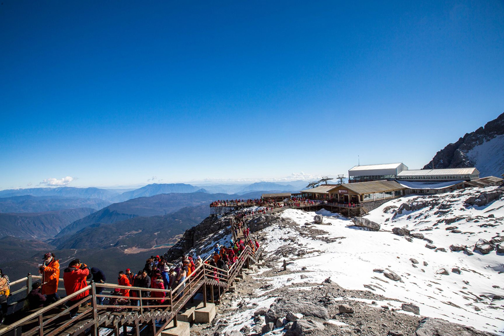
With its charming natural scenes, rich natural resources and the vertical climatic distribution of various kinds, Yulong Xueshan attracts a multitude of tourists, explorers and scholars at home and abroad to climb it which commands a broad to climb it which commands a broad view. A 502-kilometer drive will bring the alpinists from Kunming to Lijiang. Then go 30 kilometers northward from Lijiang up the highway to the mountaineering base camp site on the north side of the main peak.