INFOS & SERVICE
Unsere anderen Webseiten

Muztag Feng Berg
Located at 87.3 0E and 36.4 0N, Muztag Feng, at 6973 meters above sea level, ranks first among the peaks on the East Kunlun Shan and lies in Atqan County of South Xinjiang, where the southwest nook of the Altun Natural Reservation and West Tibet have their common boundary.
In Uygur Language, “Muztag” refers to the “Ice mountain”, while “Muz-tag Feng” is called “Wulage” (transliteration) Feng, meaning “great”. In the circumference of 200 square kilometers sit 54 high peaks of 6000 meters above sea level, among which, Muztag Feng, the main peak, is tied to its sister peak, appearing right to be a jade polar holding up against the sky.
Wrapped in snow all the year round, Muztag Feng looks up at the sky and stands upright with the cut precipices. The long and gentle northwest slope abounds in open and hidden crevasses while the south slope is 450 in gradient. From here, you can reach the summit by going up the Linglong River course and passing through three glaciers and a neve Basin. To take both the two routes from the southeast slope and the northeast slope, you need to negotiate a highland of 5823 meters in height to arrive right at the summit. Despite the slope of 600, you may surmont the summit and turn back to the base camp site in one day only if you avoid the precipices and climb along the uncovered rocks.
With the highly developed mod-ern glaciers of various types, the Muztag Feng area possesses 93 laciers of various sizes, totalling 1200 square kilometers, among which the 18-kilo-meter-long Binglin Glacier is about 300 meters thick. The giant solid reservoir formed by the glaciers offers the rivers here abundant water re-sources. The Qarqan River, the largest of its king din Xinjiang, for ex-ample, originates from the northwest ice slope of Muztag Feng. As a result of the violent movement of the glaciers,ice and snow avalanches fre-quently occur, cracking soul-stirring-ly.
With the most salient characteristic of the unpredictable climate, Tomür Feng area is affected by mon-soons and westerly wind zone, the wind of which sometimes reaching force 12 with the lowest temperature at less than- 30℃. The good moun-taineering season is in the three months of June, July and August, in which July proves to be the best to make longer cycles of five days available.
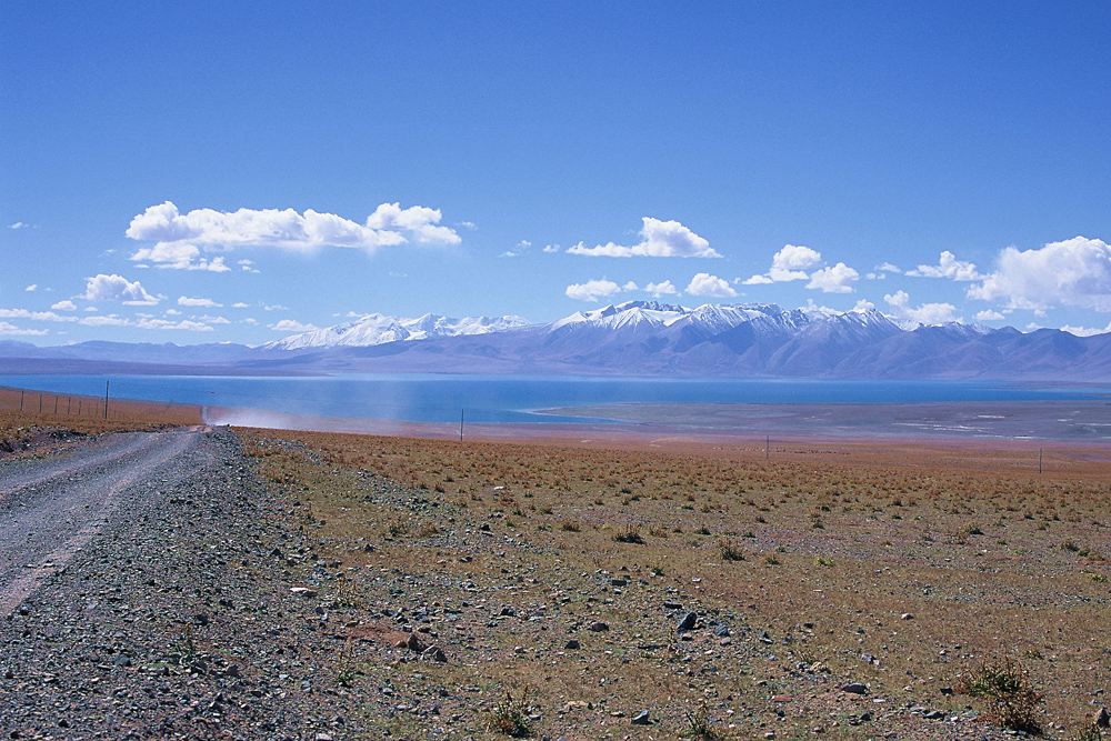
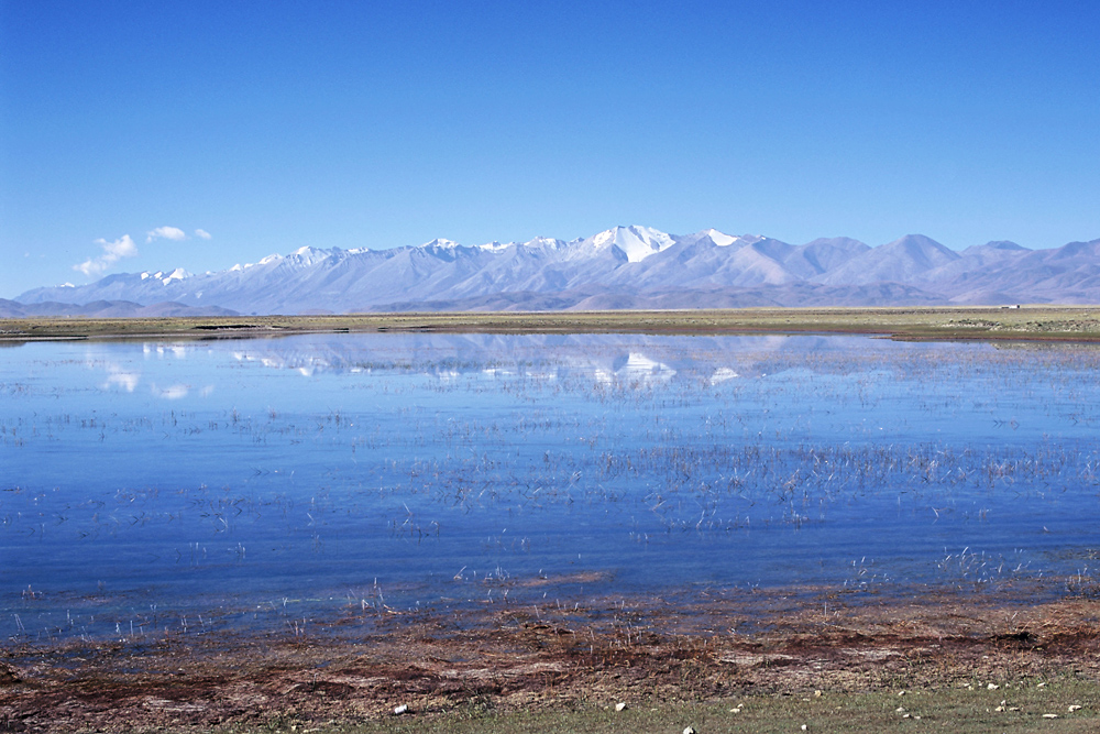
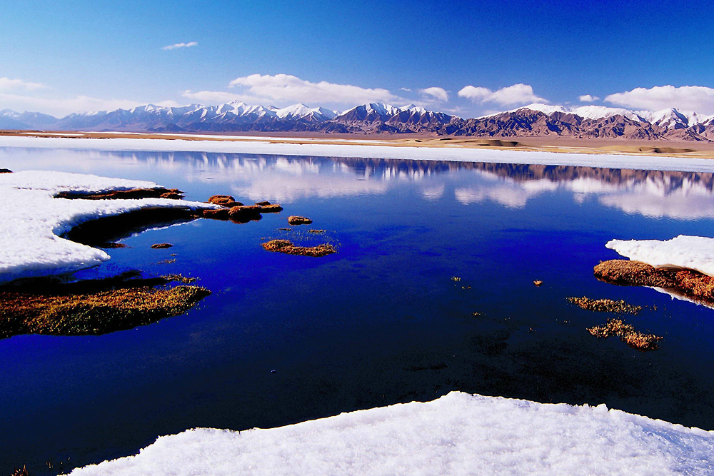
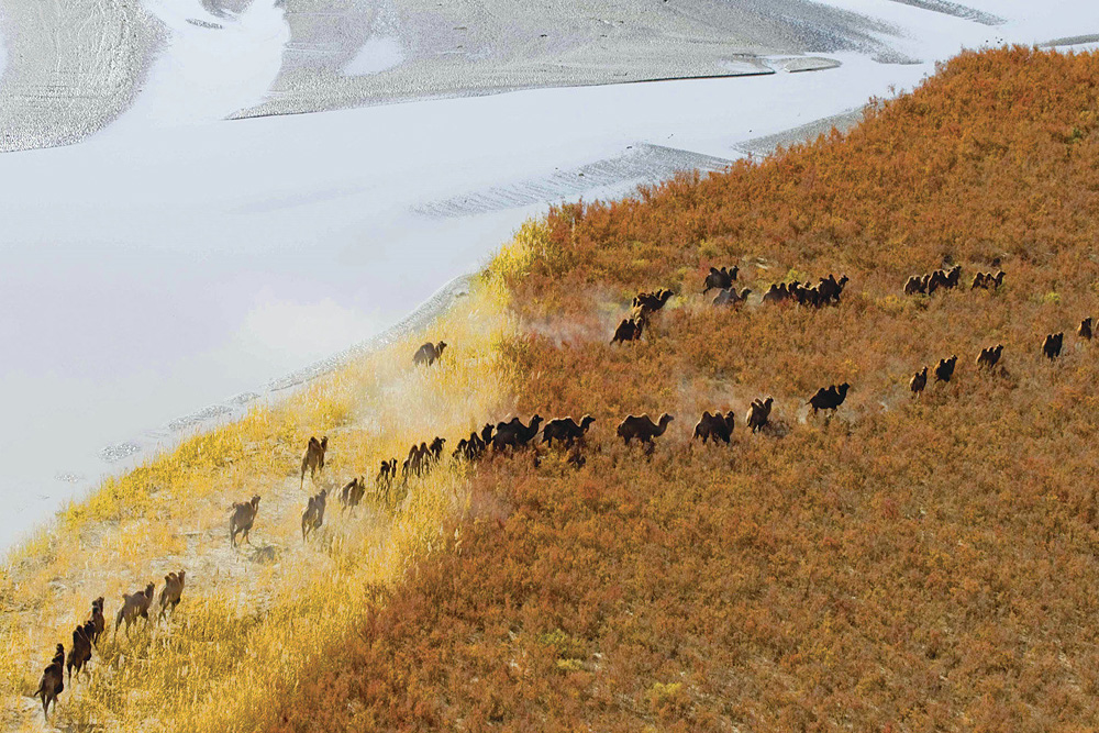
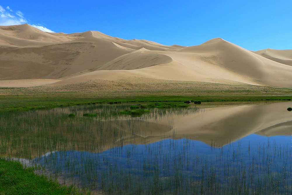
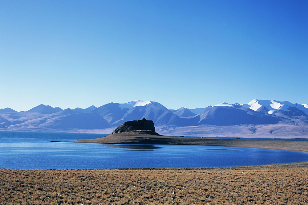
As a result of the face that the extraordinary geographical location and that the harsh natural conditions pose difficulties for getting to the circumference of hundreds of kilometers, Muztag Feng area still remains untranversed and in a virgin state of mystery. Thus, the snowy peaks, snowy fields, grassland, lakes and dozens of precious animals still living here, all combine to produce not only the unique natural scenes but also typically primitive ecosystems and the communities of living organisms which all remain intact. Ratified by the State Council, Altun Shan Natural Reservation, the largest of its kind in our country, was established in 1982, measuring an area of 45000 square kilometers. So explorers, mountaineers and scholars at home and abroad have always been looking forward to it. As early as the close of the 19th century, Some Russians came here to have a survey. Thereafter, no footprints had been left over there. It was until 1984 that the Chinese Scientific Exploration Team went twice into the region to explore the Chinese Scientific Exploration Team went twice into the region to explore the peak. In 1985, the Allied Mountaineering Team of China and the United Stated (with five members from China- Hu Fengling, Mamuti, Wu Qianxing, Zhang Baokua and Aerda) reached the summint along the west slope.
The route line to the mountain. Drive for 374 kilometers from the city of Urümqi to Korla city. Then, after going southward for 442 kilomerters to Ruo-qiang County, a southeast ward travel of 269 kilometers brings you to Mangnai Zhen in Qinghai Province. Turn southwest from here, and you will reach the mountaineering base camp site to the southwest of Aqqikkol Lake by crossing over mountains after mountains and the river alleys for several days. The 5400-meter base site can be located by the river side of the Yueya He Riv-er (the Crescent Moon River).