INFOS & SERVICE
Unsere anderen Webseiten

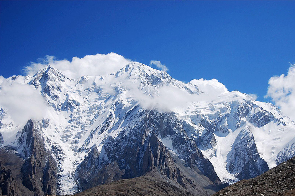
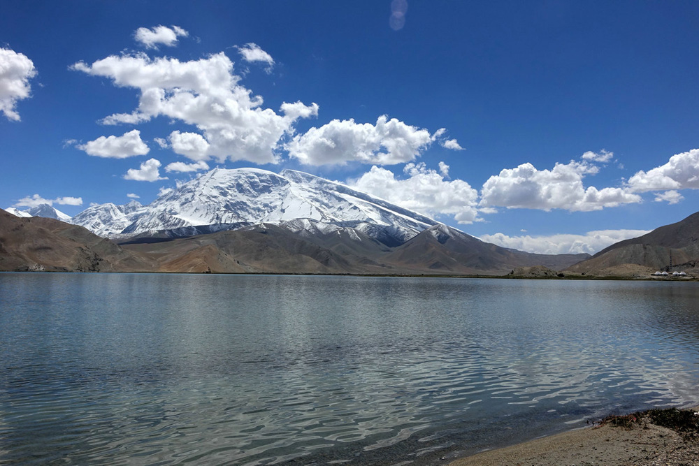
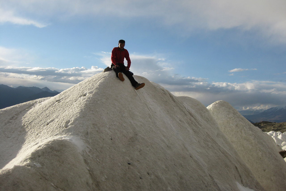
Kongur Shan Kongur Tobe Feng Berg
With an altitude of 7649 meters, Kongur Shan lies at 75.3 0E and 38.6 0N, while Kongur Tobe Feng of 7530 meters in height is at 75.1 0 E and 38.6 0N. Both being on the main ridge line of the west end of the west Kunlun Shan Range, as the crow flies, the two peas are only 15 kilometers apart and lined to each other, just as if they are two sisters standing hand in hand. Situated in Akto County in Xinjiang, together with Muztag Feng on the south side, they belong to the West Kunlun Shan Range and are considered as a whole the three famous high peaks in the East Pamirs.
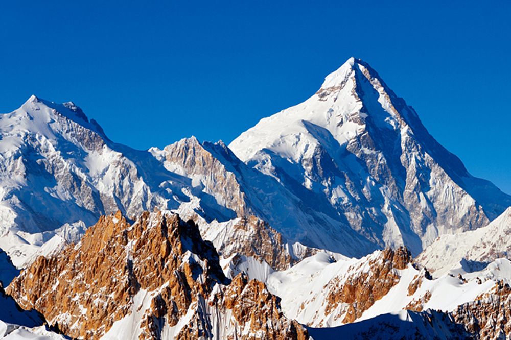
As a high peak on the West Kunlun Shan, Kongur Shan is pyramid-shaped and precipitous with an average slope of some 450. Four major ridges make the mainstay of the main peak: the North Ridge, the West Ridge, the South Ridge and the East Ridge, the slopes of which are covered with thick floating snow and has an area of snow avalanches with the height difference of 300 meters.
The second highest peak on the West Kunlun Shan, Kongur Tobe Feng, is capped by the perennial snow in the mountain, looking just like a hat worn by a herdsman. As a result, the local herdsmen call it “Kongur Tobe”, meaning a “white hat”. Being slightly inferior in height to Kongur Shan, it enjoys a nick-name “Little Kongur Feng”, but the lie of it is at least as various as that of Kongur Shan. With the high and precipitous cliffs on the north slope and the various ice and snow fields on the south slope, it is formed by four main ridges: the West Ridge, the East Ridge, the Southwest Ridge and the North Ridge.
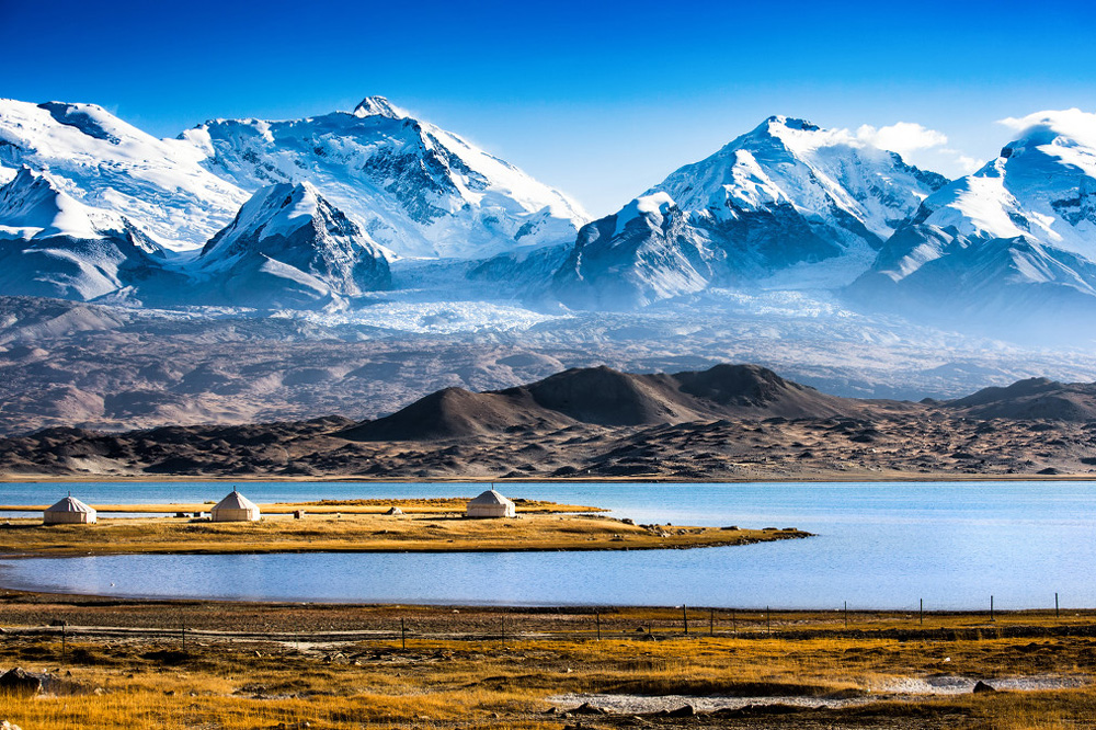
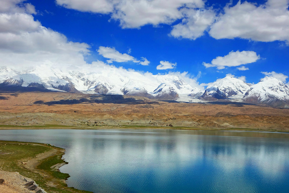
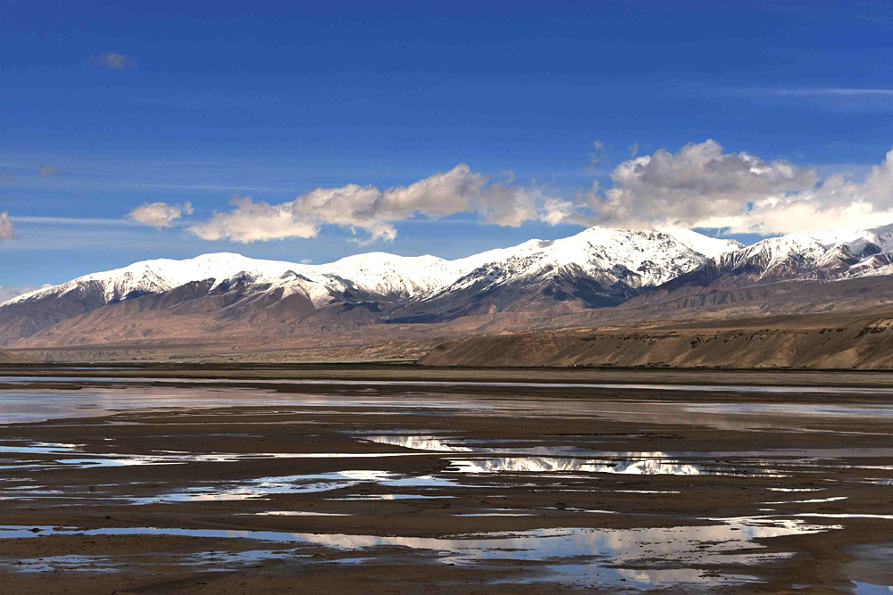
With its dangerous and precipitons terrain, the Kongur Shan area averages 7000 meters in height and has a modern snow line of some 5900 meters and is thus well-developed in size and the land form of the glaciers. Rushing down from the waist of Kongur Shan and Kongur Tobe Feng, the Karayayrak Glacier extends dozens of kilometers, with the snow thickness reaching hundreds of me-ters. The meandering snow peaks and slopes scatter far and wide and overgrow with open and hidden crevasses, while the hanging glaciers, moreover, lies sus-pendingly above it. Chances are that they may collapse any time. For various reasons, snow avalanches frequent this area while those of small scales can be found almost all the time and those of large scales often take place. At the end of May, 1983, an earthquake of magnitude 5.5 (on the Richter scale) in this area initiated an unexpected snow avalanche with a drop of up to 1000-2000 meters when the ground moved violently and the mountains shook with the force of a thunder bolt.
Cut off by lots of mountain systems from the air current of the Indian O-cean and the Pacific Ocean, the East Pamirs, in which the two peaks dwell, has an arid climate while rainfall is brought about by the interaction between the current from the westerly-wind zone in the upper air and the cold and wet cur-rent in the polar region. The average temperature in the area of around 7500 meters above sea level can be as low as - 20℃ (the lowest being -30℃) with the greatest velocity of force 9-11 (on the beaufort scale) and the usual about force 7. Noted for the capricious weather, the mountains may encounter the wind and snow occuring simutaneously even in summer and the temperature may drop- 20℃ in a wink. So the mountaineering activities are advisable in the month from June to August.
Let’s trace the mountaineering history in this area back to the beginning of this century. In 1924, an American surveyed the Kongur Tobe Feng. In 1956, the combined Team of China and the former Soviet Union succceeded in reaching the summit of Kongur Tobe Feng for the first time in human history. On July 12, 1981, an English Mountaineering Team of four person, made the first suc-cessful ascent of the summit of Kongur Shan.
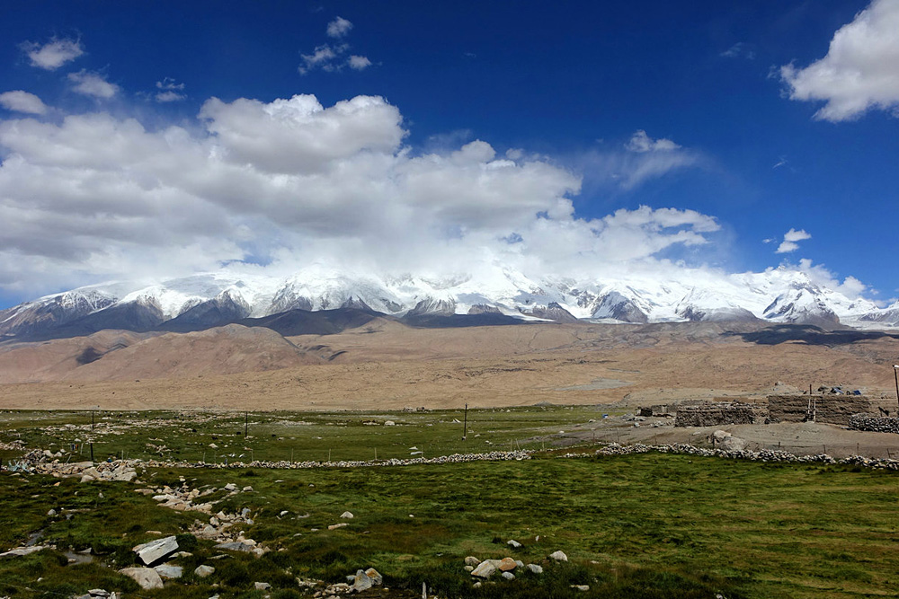
The route line to the mountain. Travel by air from Urumqi to Kashi, the place of strategic importance importance in South Xinjiang. Then advance Southwest along the Sino-Pakistan Highway to Gez. Afterwards a 50- kiolometer drive along the simply-built highway brings you to the Houz Prairie at the northeast foot of Kongur Feng. The base campsite is usually at one end of the Kuruk Glacer, which is 3600 meters above sea level. To take the route of the south slope, march forward along the Sino-Pakistan Highway to the bank of the Kalakuli He cross Kangxiwa River and trudge to the foot of the mountain.